
Overview & Orientation
Murrysville is a home rule municipality of about 37 square miles in western Westmoreland County, roughly 20 miles east of Downtown Pittsburgh, just past Monroeville. Known as the “Gateway to Westmoreland County,” it runs along U.S. Route 22, its main commercial corridor, and includes villages such as Sardis, Newlonsburg, White Valley, and Murrysville Heights. Murrysville is the site of one of the nation’s first commercial natural gas wells, it has more than 1,200 acres of parkland and the Westmoreland Heritage Trail, and it is part of the Franklin Regional School District.
Where Murrysville Is
- County: Westmoreland County, at the Allegheny County line
- Type: Home rule municipality. It was settled as Franklin Township, and voters adopted a home rule charter in 1976. It covers about 37 square miles. See Wikipedia’s Murrysville entry.
- ZIP code: 15668
- Neighbors: Upper Burrell, Washington, Salem, and Penn Townships and Delmont in Westmoreland County, plus Monroeville and Plum in Allegheny County. The borough of Export sits entirely inside Murrysville.
Murrysville or a Neighbor?
Several nearby communities sit right on Murrysville’s borders, and some share its school district while others don’t:
| Municipality | School District |
|---|---|
| Murrysville | Franklin Regional |
| Export Borough (inside Murrysville) | Franklin Regional |
| Delmont Borough | Franklin Regional |
| Penn Township | Penn-Trafford |
| Monroeville / Plum (Allegheny County) | Gateway / Plum Borough |
To confirm a property’s municipality and school district, check the deed, the tax bill, or Westmoreland County’s online Building & Land Search.
Typical Drive Times
Times are approximate and vary by where you start in Murrysville. Traffic varies by time of day, especially on Route 22 and I-376.
| Destination | About |
|---|---|
| Monroeville | 10 minutes |
| Pennsylvania Turnpike (Monroeville interchange) | 10–15 minutes |
| Greensburg | 25 minutes |
| Oakland (universities and hospitals) | 30–35 minutes |
| Downtown Pittsburgh | 30–40 minutes |
A Brief History
The area was settled in 1788 as Franklin Township. The town of Murrysville took its name from Jeremiah Murry, who bought several hundred acres around 1820 and sold lots to settlers, according to The Municipal. Early landmarks still standing include the Staymates log cabin on Round Top Road, built around 1785 to 1790, and the Sampson-Clark Toll House, which sat along an early turnpike route and now houses the Murrysville Historical Preservation Society.
In 1878, brothers Michael and Obediah Haymaker drilled for oil along Turtle Creek and struck natural gas instead. The Haymaker well was long considered the largest commercial gas well in the world and helped make Murrysville a center of the early gas industry. A replica and historical panels mark the site at the Westmoreland Heritage Trail parking area on Braun Avenue, as noted by the Historical Marker Database. In 1933, local Scout troops planted spruce trees spelling out “Murrysville” on a hillside along Route 22, a landmark that is still maintained today. Voters adopted the home rule charter in 1976, creating the Municipality of Murrysville.
Notable Landmarks
- Murrysville tree sign: An 850-foot sign of spruce trees on the hillside along Route 22, planted in 1933
- Haymaker gas well site: A replica and historical panels near Carson Avenue on the Westmoreland Heritage Trail
- Sampson-Clark Toll House: A historic log cabin with a replica one-room schoolhouse
- Staymates cabin: A two-story log cabin from the late 1700s on Round Top Road
See TribLive’s list of 10 unique things in Murrysville for more.
Housing & Real Estate
Housing Stock
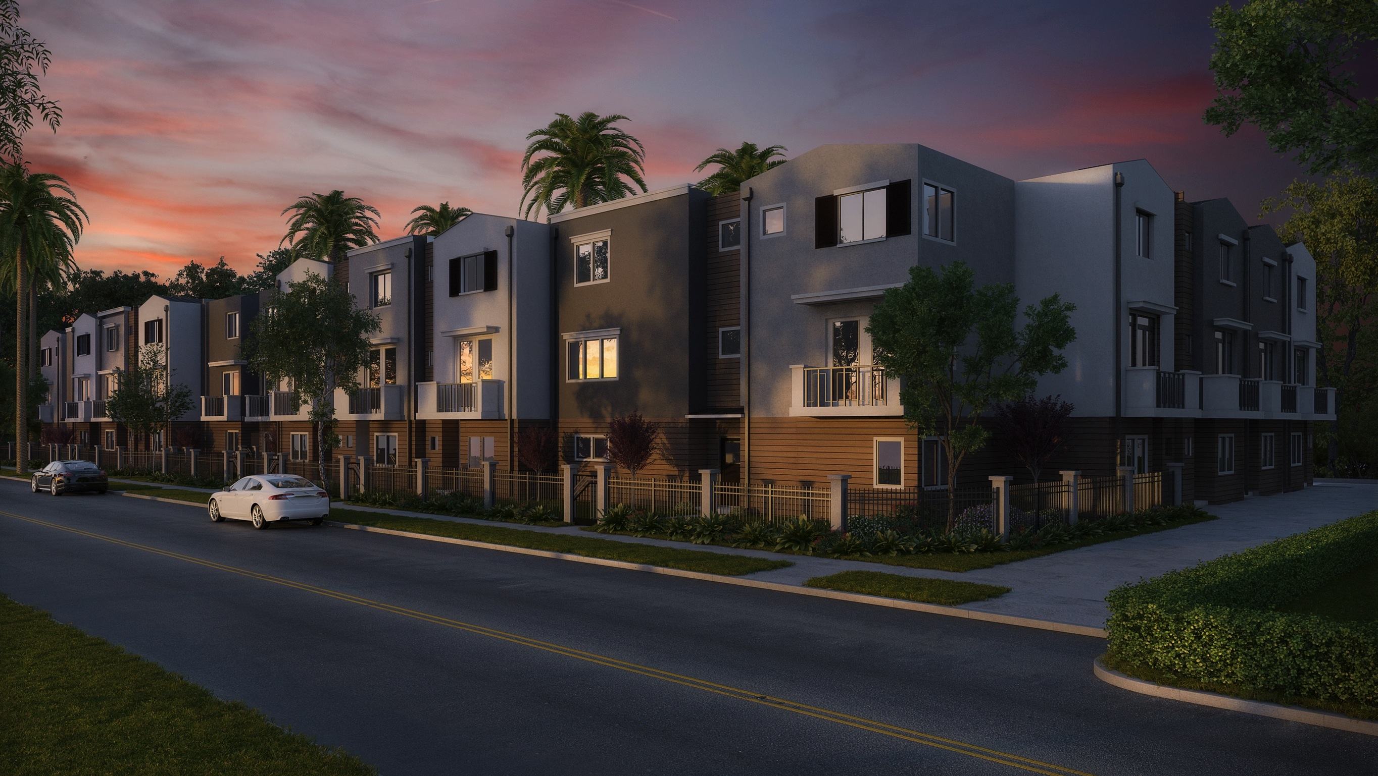
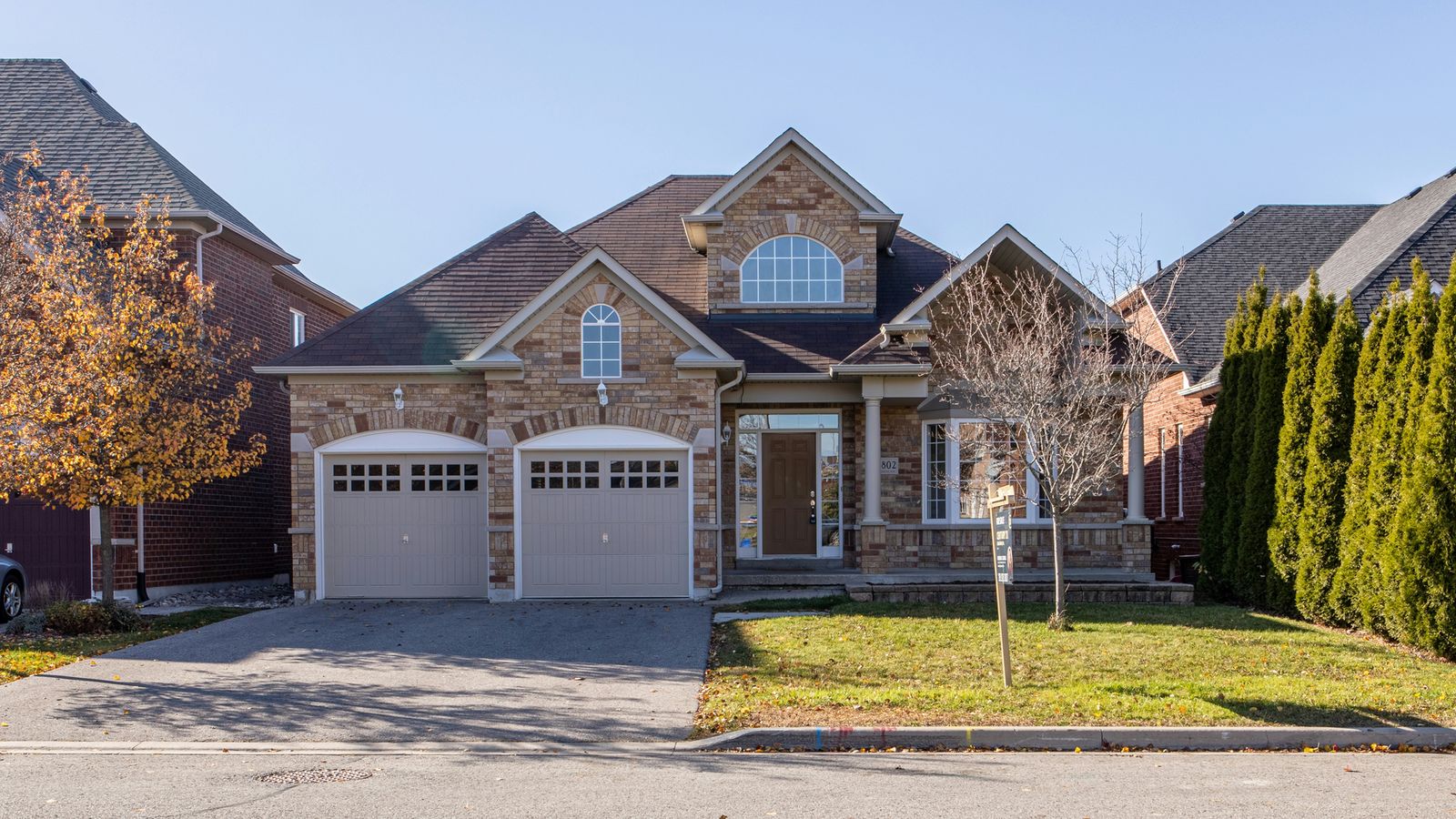
With about 37 square miles, Murrysville has a wide range of housing and lot sizes. Older homes sit near the Route 22 corridor and in villages such as Sardis and White Valley. Much of the municipality was developed from the 1960s onward, with ranches, split-levels, and two-story colonials in plans such as Heather Highlands, Franklin Estates, and Settlers Ridge. Newer construction, townhomes, and homes on acreage are found farther from Route 22, along with some condominiums and apartments.
Homes near Turtle Creek or other low-lying areas should be checked on the FEMA Flood Map Service Center.
Types of Homes
- Single-family homes (the majority), from older village homes to newer construction
- Homes on larger lots and acreage
- Townhomes, condominiums, and apartments
Prices and availability change daily, so the live feed is the place to check. See current homes for sale in Murrysville.
Schools
Franklin Regional School District
Murrysville is served by the Franklin Regional School District, which also covers Export and Delmont, about 38 square miles in all. The district’s address is 3200 School Road, Murrysville.
- Primary (K–2): Franklin Regional Primary School
- Intermediate (3–5): Franklin Regional Intermediate School
- Middle (6–8): Franklin Regional Middle School, on the main campus at School Road and Old William Penn Highway
- High (9–12): Franklin Regional High School, on the same campus
Nearby Colleges & Universities
- CCAC Boyce Campus (Monroeville)
- Penn State New Kensington (Upper Burrell)
- University of Pittsburgh at Greensburg and Seton Hill University (Greensburg)
For school performance data, visit the Pennsylvania Department of Education’s Future Ready PA Index and the district’s own website. School assignments can change. Confirm directly with the district.
Getting Around
Major Roads
- U.S. Route 22 (William Penn Highway): The main east-west corridor, west to Monroeville and I-376 and east toward Delmont and Blairsville
- I-376 (Parkway East): Begins at Monroeville, just west of Murrysville, with a direct route to Oakland and Downtown
- Pennsylvania Turnpike (I-76): The Monroeville interchange is a short drive west
- Sardis Road and School Road: Key local roads to the municipal campus, library, and schools
Public Transit
Westmoreland County Transit Authority provides bus service in the county, including commuter routes toward Pittsburgh. Check its current routes and schedules before you rely on them.
Walkability & Bikeability
Murrysville is mostly car-oriented, but the Westmoreland Heritage Trail offers a long car-free route for walking and biking, running roughly parallel to Route 22 west to Trafford and east to Export. See Walk Score for Murrysville, PA.
Things to Do
Parks & Trails
Murrysville maintains more than 1,200 acres of parkland. Highlights include:
- Murrysville Community Park: The main municipal park, with athletic fields, including the Rotary Miracle Sports Complex
- Duff Park: About five miles of wooded trails and a nature preserve with old-growth forest. See the WeConservePA case study and trail maps.
- Westmoreland Heritage Trail: A rail-trail with its main Murrysville access at the Roberts Trail Access, 4301 William Penn Highway
- Nature reserves: The Lillian Kellman and Victoria Skena reserves, plus Westmoreland Conservancy’s King and Morosini reserves, including an accessible trail at Morosini
Community Events
Murrysville hosts Community Days, summer concerts in the park, a seasonal farmers market on Sardis Road, and a December Light Up Night, when volunteers place luminaries around the tree sign.
Shopping & Dining
Route 22 is lined with shopping centers, grocery stores, restaurants, and services, including The Shoppes at Blue Spruce. More retail is a few minutes west in Monroeville.
Library
The Murrysville Community Library is at 4130 Sardis Road, (724) 327-1102. It is a member of Westmoreland County Libraries.
Local Services & Resources
Municipality of Murrysville
4100 Sardis Road, Murrysville, PA 15668
Phone: (724) 327-2100
Website: murrysville.com
Council: Meets regularly in the evening, usually twice a month. Check the municipal calendar for current dates, times, and agendas.
Trash & Recycling
Trash and recycling are collected under a municipal contract that also covers Export. Republic Services has held the contract, with automated recycling carts, according to TribLive. Check with the municipality for your collection day and current rules.
Emergency Services
- Emergencies: Call 911
- Police: Murrysville Police Department
- Fire: Volunteer fire companies, including Murrysville Volunteer Fire Company No. 1, 3235 Sardis Road, founded in 1927
- Ambulance: Murrysville Medic One
Hospitals Nearby
- AHN Forbes Hospital (Monroeville)
- UPMC East (Monroeville)
Permits & Zoning
Planning a renovation, addition, deck, fence, or pool? Contact the Municipality of Murrysville at (724) 327-2100 for building and zoning permits.
Frequently Asked Questions
What county is Murrysville in?
Westmoreland County, right at the Allegheny County line, about 20 miles east of Downtown Pittsburgh.
Is Murrysville a borough or a township?
Neither. It is a home rule municipality, created when voters adopted a charter in 1976. It was originally Franklin Township.
Is Export part of Murrysville?
No. Export is a separate borough, though it sits entirely inside Murrysville. Both are in the Franklin Regional School District.
What school district serves Murrysville?
The Franklin Regional School District, which also serves Export and Delmont.
What is the Haymaker well?
One of the nation’s first commercial natural gas wells, drilled in Murrysville in 1878. A replica and historical panels mark the site along the Westmoreland Heritage Trail.
What is the Murrysville tree sign?
An 850-foot sign of spruce trees spelling “Murrysville” on a hillside along Route 22, planted by local Scout troops in 1933.
Are there trails in Murrysville?
Yes. The Westmoreland Heritage Trail runs through town, Duff Park has about five miles of trails, and several nature reserves have walking paths.
How long is the drive from Murrysville to Downtown Pittsburgh?
About 30 to 40 minutes by Route 22 and I-376, depending on traffic.
Thinking About a Move to Murrysville?
Whether you are buying in Murrysville or selling a home here, we’re happy to answer questions, including whether a nearby home is in Murrysville, Export, or a neighboring township. Our brokerage, Realty ONE Group Landmark, has its office right here in Murrysville at 3731 William Penn Highway. No pressure. Just local knowledge. Start with the current Murrysville listings, or reach out to our team.
Mike Pastor Group | Realty ONE Group Landmark
412-214-9494 | pittsburghhometeam.com
Explore Nearby Communities
- Export (homes for sale)
- Delmont (homes for sale)
- Monroeville (homes for sale)
- Plum (homes for sale)
- Harrison City / Penn Township (homes for sale)
Written by Mike Pastor, Team Leader, Mike Pastor Group | Realty ONE Group Landmark | PA License RS328638
120+ five-star client reviews.